Earth Observation Indices™

Earth Observation Indices™

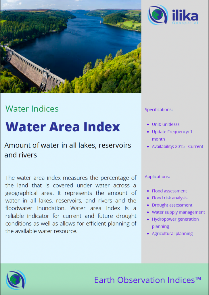
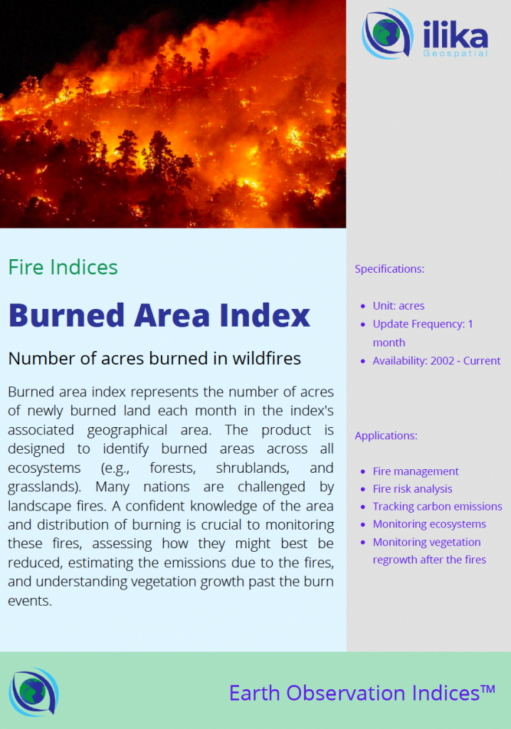
Earth Observation Indices™ are our metrics that represent real-word activity, such as, area burnt by wildfires, precipitation, carbon emissions, etc. They are critically important in data driven decision making in many different industries including finance, insurance and policy making.

Clarity

Satellite data is difficult to access and process. Our indices distill it into simple metrics that represent complex phenomena such as drought, fire risk and crop health.

Credibility

Our indicies are derived form authoritative data sources such as CMIP, NEX, ECMWF and C3S and undergo rigorous quality assurance process 

Coverage

Our indices have global coverage, and represent metrics at various geographical scales such as country, state or county statistics.

“Satellites collect petabytes of data daily. Our indices make it meaningful”

Our Indices Portfolio

Select Indices

While our competitors focus on either offering highly customized solutions to specific clients, or offering generic platforms where their clients have to write their own code, our indices are universally applicable and simple to use. In fact its the combination of the two that lends us our biggest competitive advantage.