Precision Geospatial Intelligence
AI-Powered. Satellite-Driven. Proven Accuracy.
We transform geospatial data into powerful insights.
Begin Your TransformationOur Cutting Edge Technology
At ilika, we harness advanced geospatial analytics, AI-driven modeling, and satellite data pipelines to deliver insights that empower decision-makers across industries.

How It Works
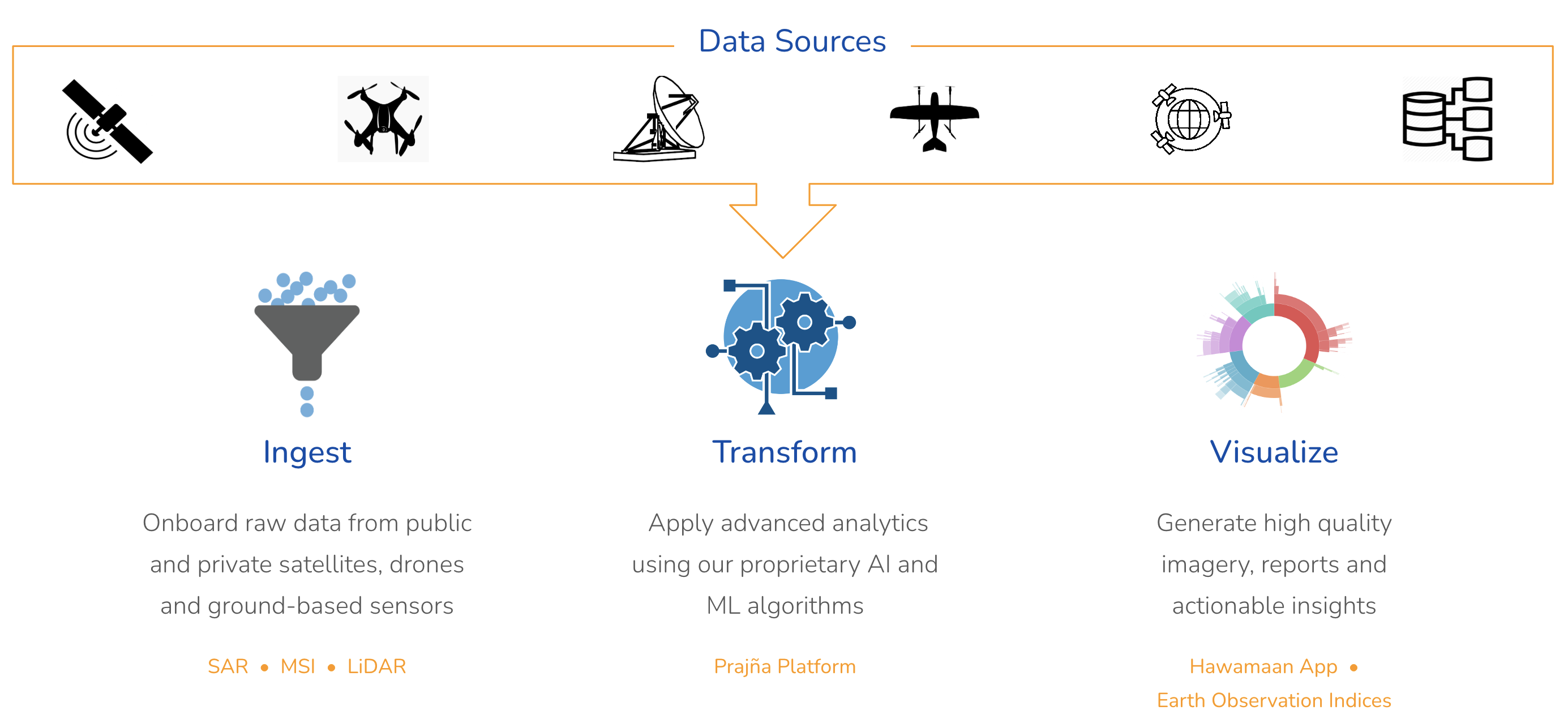
Our platform ingests multi-source satellite and sensor data, applies AI-driven preprocessing, and enriches it with contextual metadata. Advanced analytics then transform this raw data into actionable intelligence, accessible via powerful APIs and interactive dashboards.
- ✔Real-time satellite and IoT data integration
- ✔AI-driven data cleaning, enrichment, and validation
- ✔High-performance architecture for massive-scale analytics
- ✔APIs and dashboards tailored for finance, energy, and climate risk
Why Choose ilika?
We don't just build solutions; we build partnerships. Our blend of strategic insight, technical excellence, and unwavering support sets us apart.
Global Coverage
From the Atacama to Alberta, our insights scale globally across mines, farms, energy grids and more.
Unique Data
We combine weather, vegetation, and emissions into a rich alternative dataset built for predictive modeling.
Collaborative Partnership
We integrate with your team to foster a culture of shared success, ensuring solutions are adopted, not just implemented.
Probabilistic Weather Forecasts
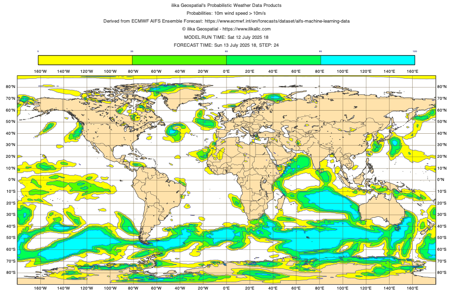
Move beyond single-value forecasts. ilika quantifies uncertainty with event-based probabilities—so you can plan for risk, not just react to it.
You define the event. We forecast it.
- Simple thresholds:
Temp > 35°C,Wind > 20 kt - Derived metrics: gusts, heat index,
√(U10² + V10²) > 10 m/s - Compound risks: hot + dry + windy (wildfire), heavy rain + wind (outage)
- Targeted delivery: facility, county, or grid-cell; APIs, dashboards, or files

Example: Probability of 10m wind > 10 m/s
Our Product Suite
Engineered solutions designed to address your most critical analytics needs and drive tangible results.

Probabilistic Weather Forecast
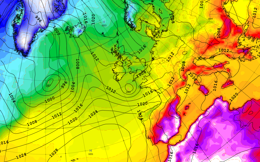
Probabilistic Weather Forecasts for Smarter Decisions. Leverage AI-driven probabilistic forecasts tailored to your region and sector. Make confident operational and financial decisions with insights that go beyond traditional weather models.

Emissions
Pinpoint Methane Emissions with Facility-Level Precision. Track methane point sources enriched with wind direction and nearby facility metadata. Ideal for ESG analysis, regulatory compliance, and environmental risk management.

Satellite Derived Indices
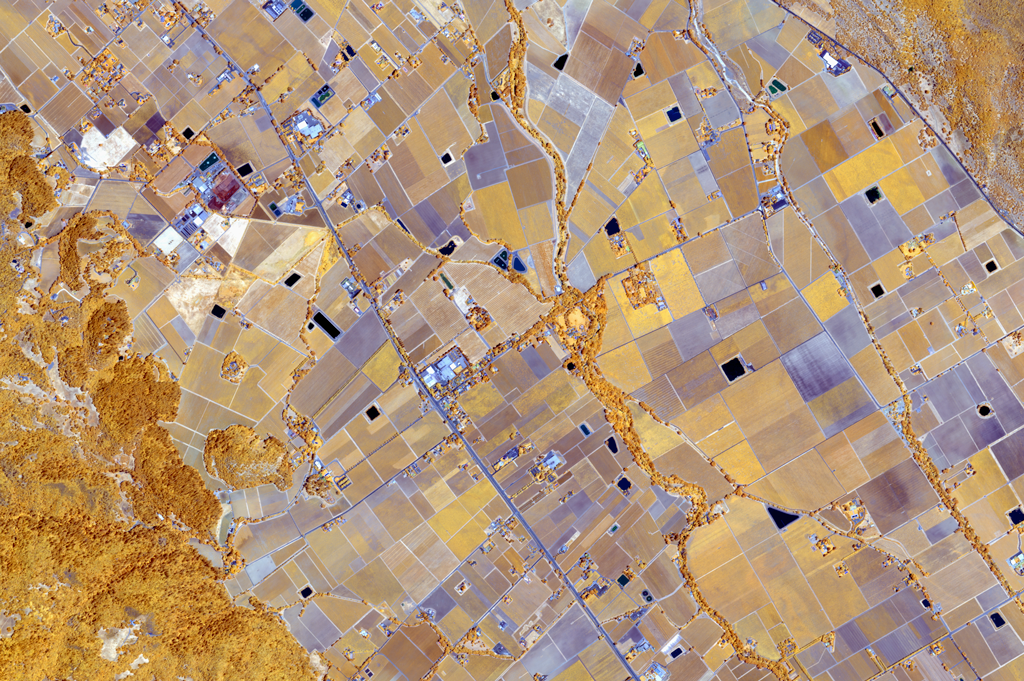
NDVI, Drought, and Land Use Signals—All from Space. Monitor vegetation health, drought stress, and land dynamics using remote sensing indices. Combine optical and radar imagery for high-frequency, actionable insights.
Real Outcomes. Real Data.
Our analytics have consistently delivered measurable results across sectors. Explore how we turn data into performance.

Electricity Demand Forecasting
3.42% MAPE
ilika’s forecasts for Allete Inc. outperformed Wall Street analyst consensus (4.5%), achieving a 3.42% Mean Absolute Percentage Error by integrating satellite weather data with historical demand.

Climate Risk Projection
15% More Annual Precipitation
Our hyperlocal models showed a significant increase in projected precipitation for an insurance client, revealing portfolio exposure to long-term flood risk and shaping underwriting policies.

Lithium Production Tracking
95% Correlation with Shipments
ilika’s NDVI-based production estimates for SQM’s lithium brine ponds achieved a 95% correlation with the company’s reported export volumes—proving its predictive edge.
Ready to move from complexity to clarity?
Let's have a conversation. Tell us about your vision, and we'll explore how we can engineer it into reality.


